
How do you plan for a beehive fence?
Upper Kitete village, on the boundary of the Northern Highlands Forest, was established as a model agricultural cooperative back in the early 60s, by Tanzania’s founding father, President Julius Nyerere. His vision was to bring rural people and pastoralists together into collective villages, improving access to local services and healthcare. Many moved to the village from Arusha (160km north) and from further afield to set-up their homes and trial this new venture.

The results of the cooperative are still evident today with a unified and supportive culture in the community. If the village needs a job done, people across the community will jump in to help. Whether it’s repairs to a local road, or improvements to the village office, everyone gets involved to help their fellow neighbours. We have been honoured to learn from and support Upper Kitete in preventing conflict with elephants. After an important stage of meetings, needs assessments, and feedback from the community, the project partnership was welcomed with great enthusiasm and positivity.
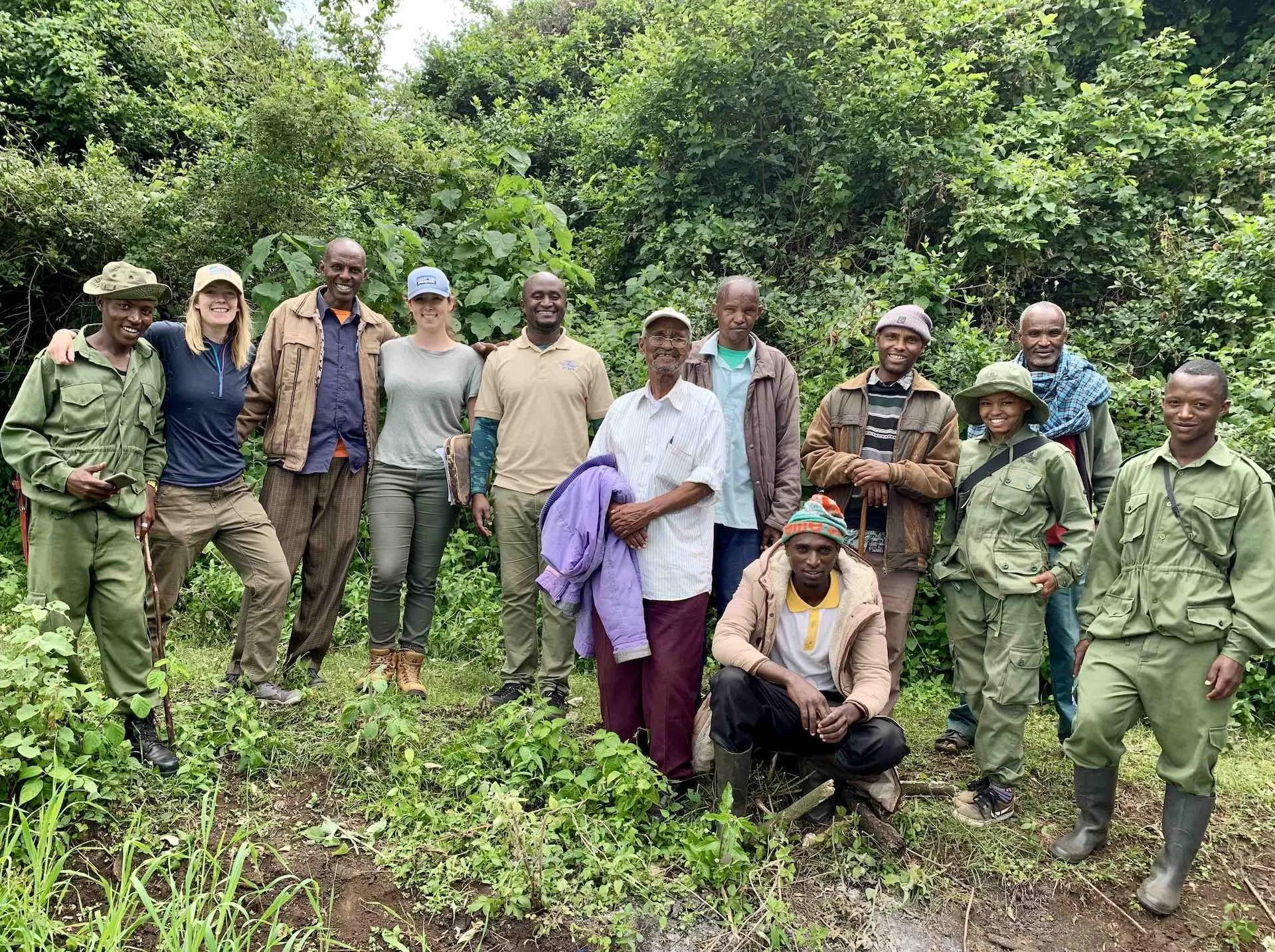
Fran and Beth (Wild Survivors) with PAMS Foundation and farmers from Upper Kitete village after completing mapping of affected farmland in June 2019.
Mapping Elephant Highways
The first exciting project stages commenced in June 2019. Myself and Beth (WS Conservation Science Manager), spent a month in Karatu to kick start the Upper Kitete beehive fence. It all begins with mapping! It is imperative to visualise the environment we’re working in: the distribution of farmland, proximity to wild habitat, corridors and protected areas. This is the key to informed decision making on beehive fence placement. We joined farmers whose plots border the Ngorongoro Crater forest, to examine the fireline boundary where the beehive fence could be placed.

Emanuel (PAMS Elephant Guardian) and Beth (WS) record GPS points along farm boundaries where elephants have created ‘highways’ onto the land.
The first exciting project stages commenced in June 2019. Myself and Beth (WS Conservation Science Manager), spent a month in Karatu to kick start the Upper Kitete beehive fence. It all begins with mapping! It is imperative to visualise the environment we’re working in: the distribution of farmland, proximity to wild habitat, corridors and protected areas. This is the key to informed decision making on beehive fence placement. We joined farmers whose plots border the Ngorongoro Crater forest, to examine the fireline boundary where the beehive fence could be placed.
By joining Wild Survivors as a monthly donor, you receive exclusive images from our camera traps installed in the wildlife corridor. Used for our elephant monitoring and research, the images provide a snapshot into the lives of the elephants and our coexistence projects.
Bees form a natural barrier
A total distance of 3.75km of farm boundary was recorded, where nightly episodes of elephant crop-raiding is at its peak. The Crater forest cascades beyond the fireline break. Segmenting the length of farm plots, the forest connects with the wider Upper Kitete wildlife corridor. Two farms are nestled between the extending forest. This topography has led our team to plan for three separate fences to securing the cultivated land along the fireline.
Learn about the beehive fence in action, and our new Corridor Protection Project, by following us on facebook and instagram.

Upper Kitete famland pre-fence, sandwiched between the Highlands Forest and elephant corridor